Initializing
Drone Services India
Services

Drone Services + Custom Builds

Category 01

Survey & Mapping

Aerial Survey
Survey & Mapping

Aerial Survey & Mapping

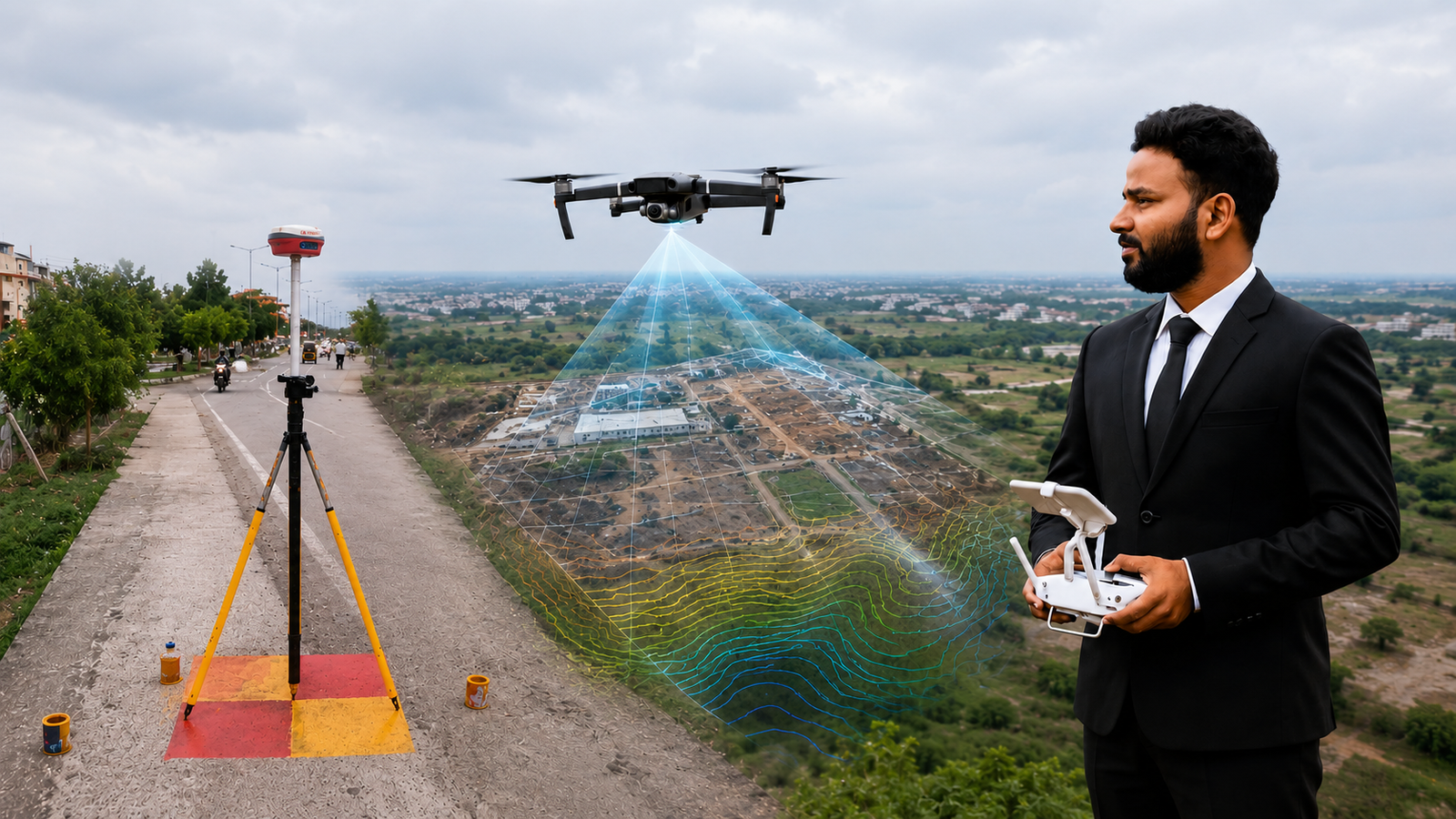
High-resolution aerial photogrammetry for topographic mapping, orthomosaic generation, and 3D terrain modeling. Deliverables include contour maps, DSM/DTM, and CAD-ready outputs.
Orthomosaic3D ModelCAD OutputRTK Accuracy
Land Survey
Survey & Mapping

Land Survey (DGPS/RTK Mapping)

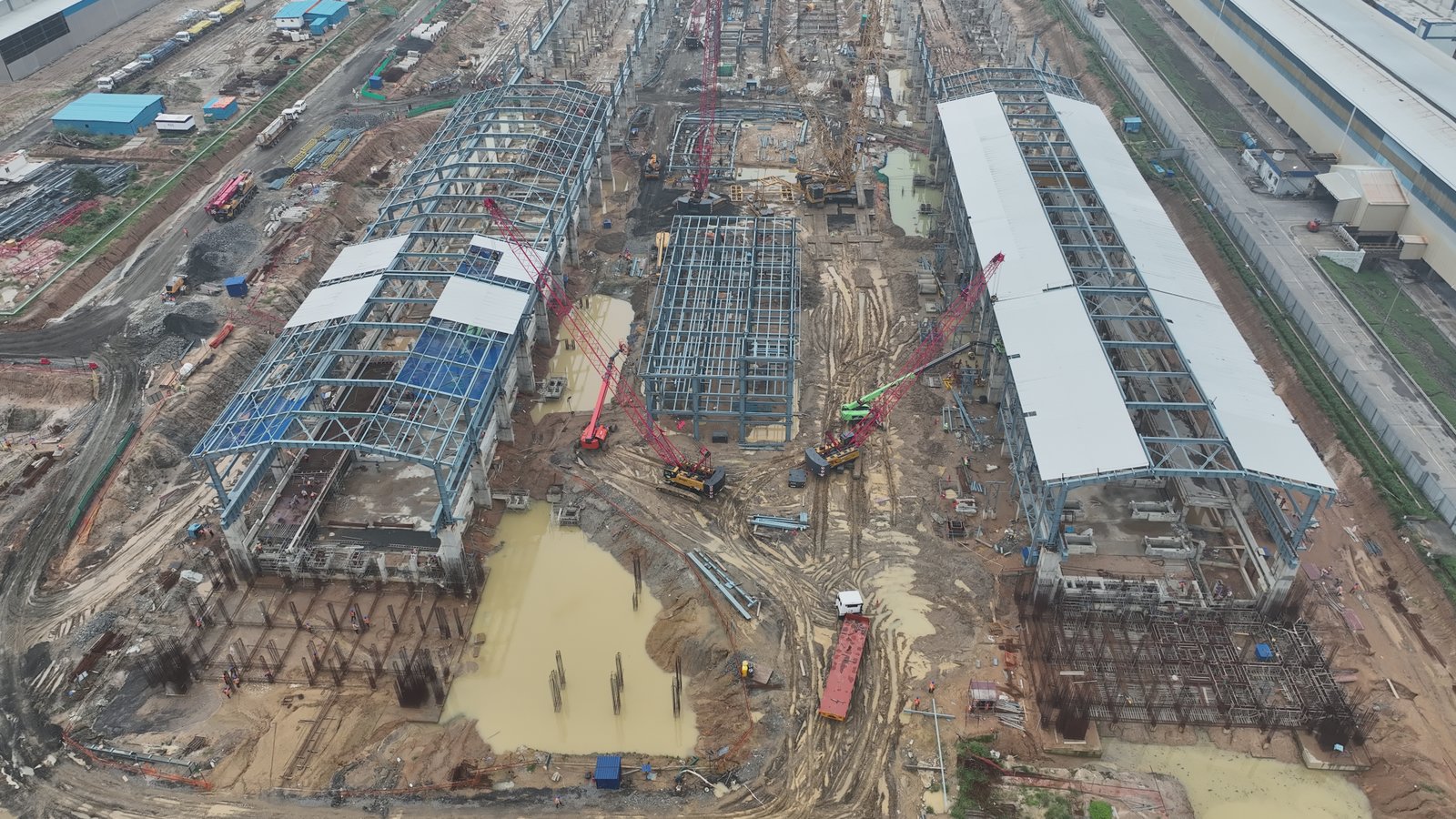
Survey-grade land measurement using DGPS and RTK-enabled drones. Achieve centimeter-level accuracy for boundary surveys, land records, and property demarcation.
CM AccuracyDGPS/RTKBoundaryLegal Grade
Construction Monitoring
Survey & Mapping

Construction Progress Monitoring

Regular drone flyovers to track construction progress, compare against BIM models, generate as-built documentation, and share stakeholder reports with timeline visualization.
Weekly/Bi-weeklyBIM CompareAs-built DocsTime-lapse
Mining Survey
Survey & Mapping

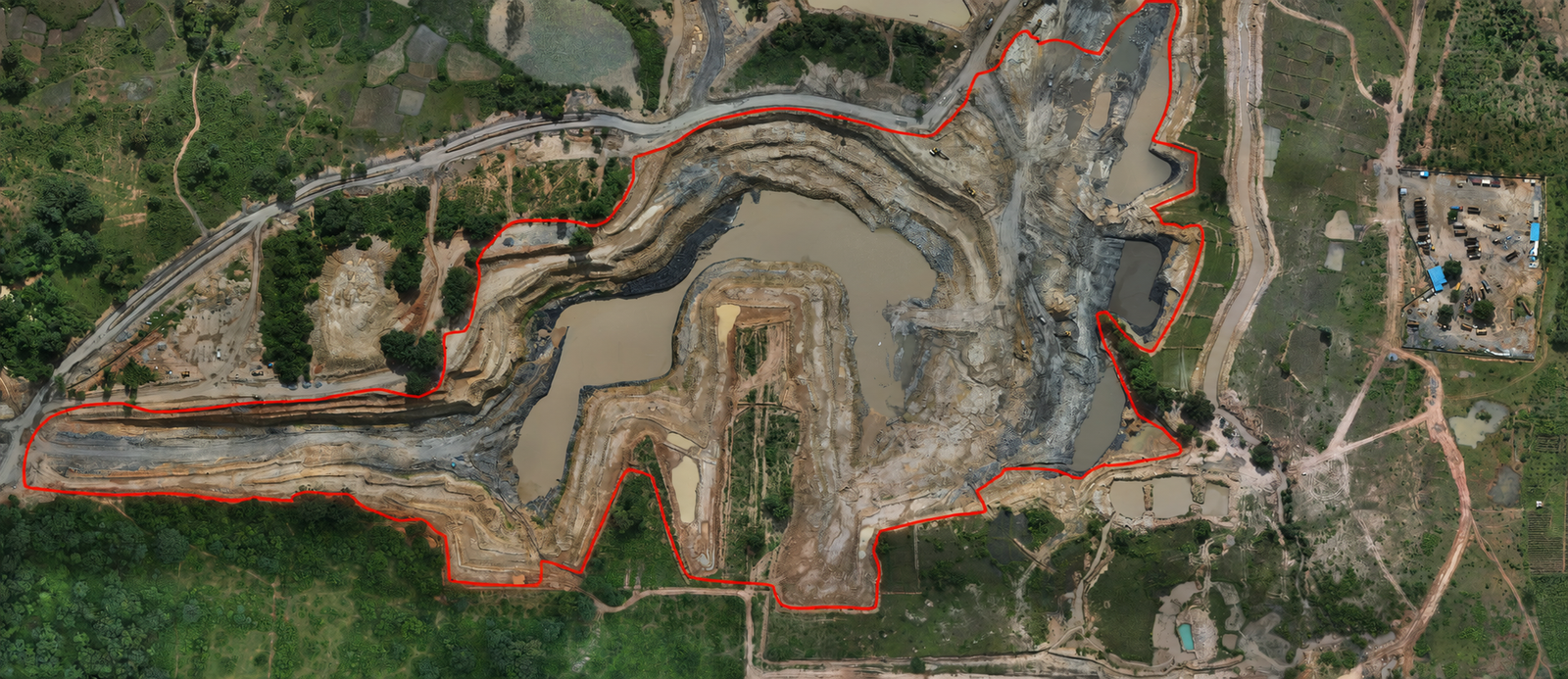
Mining Survey & Volume Calculation

Accurate stockpile measurement, pit mapping, and volume calculations for mining operations. Monitor excavation progress and compliance with environmental regulations.
Volume CalcStockpilePit MappingCompliance
Category 02

Industrial Inspection

Solar Plant Inspection
Inspection

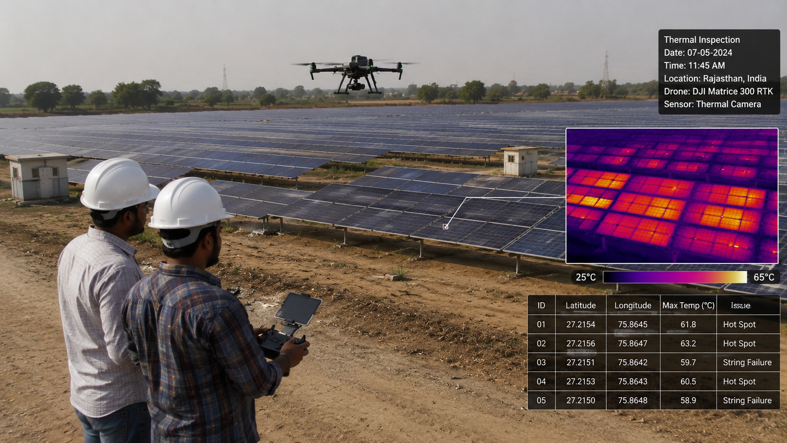
Solar Plant Inspection

Thermal drone surveys to detect faulty PV panels, hot spots, and string failures across solar farms. Generate inspection reports with GPS-tagged anomaly locations.
Thermal ImagingHot Spot DetectGPS TaggedMW-scale
Powerline Inspection
Inspection

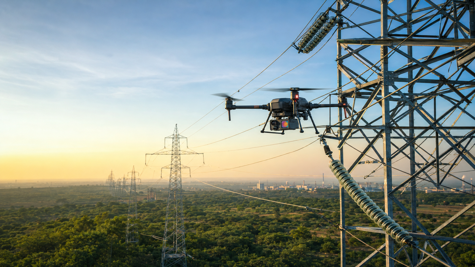
Powerline & Transmission Inspection

Close-visual and thermal inspection of transmission towers, conductors, and insulators. Detect corrosion, overheating joints, and vegetation encroachment safely from the air.
Visual + ThermalCorrosion DetectVegetationNo Shutdown
Pipeline Monitoring
Inspection

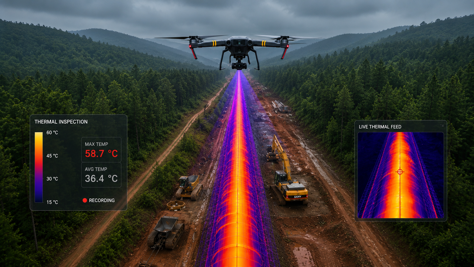
Oil & Gas Pipeline Monitoring

Long-range pipeline surveillance for leak detection, encroachment monitoring, and ROW inspection. Cover hundreds of kilometers in a single day with automated flight paths.
Leak DetectEncroachmentLong RangeAutomated
Industrial Inspection
Inspection

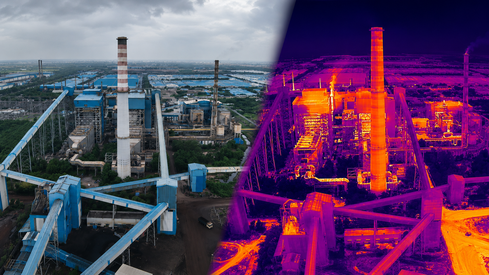
Industrial & Thermal Inspection

Comprehensive visual inspection of chimneys, cooling towers, storage tanks. FLIR thermal imaging for electrical panels, building envelopes, and industrial equipment.
FLIR CameraHeat AnomalyChimneysNo Scaffold
Category 03

Agriculture Solutions

Agriculture Spraying
Agriculture

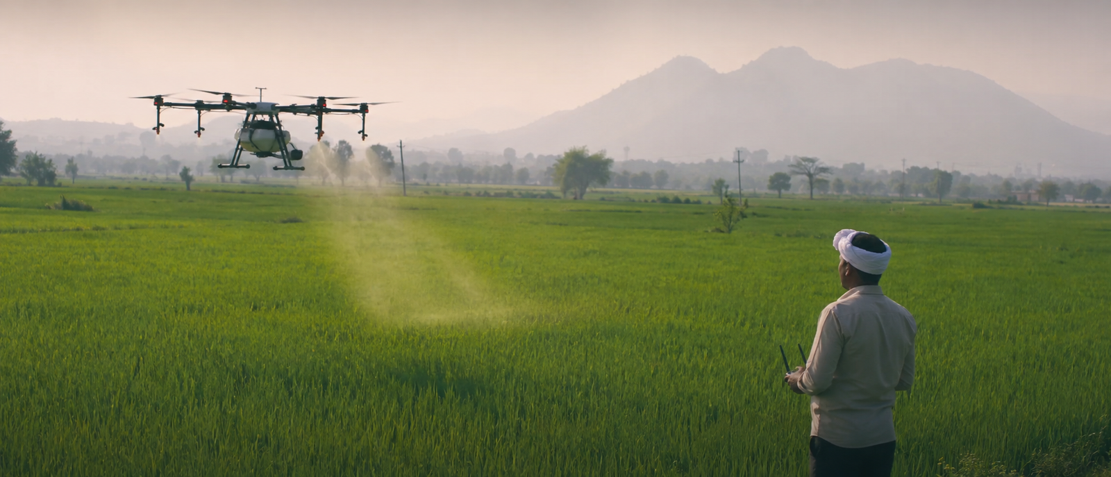
Agriculture Spraying & Crop Health Analysis

Precision drone spraying for pesticides, fertilizers, and nutrients. Combined with NDVI-based crop health analysis to identify stressed areas and optimize treatment zones.
Precision SprayNDVI AnalysisCrop Health30% Savings
Environmental Monitoring
Agriculture

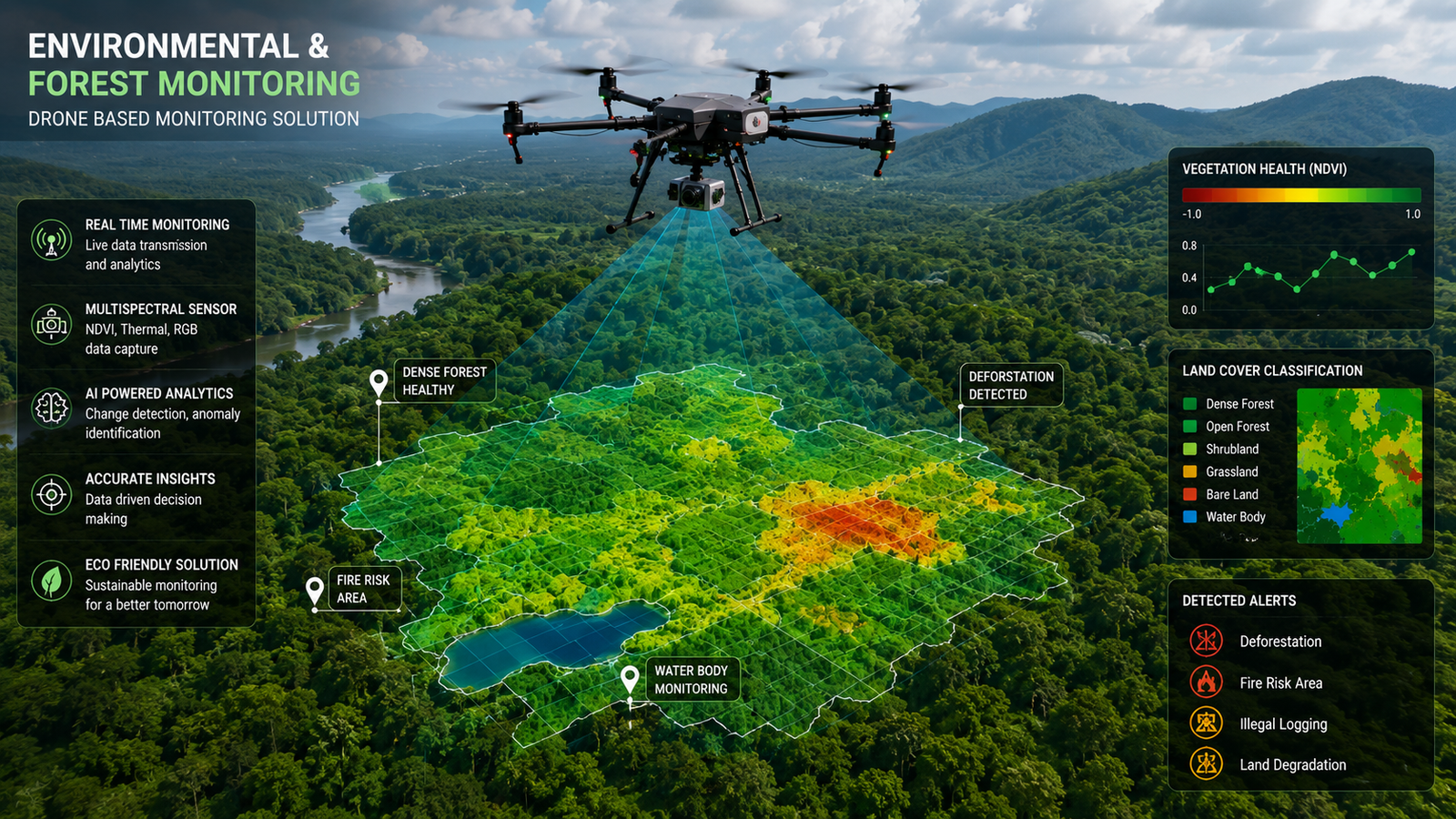
Environmental & Forest Monitoring

Monitor forest health, track deforestation, assess wildlife corridors. Multi-spectral analysis for vegetation health and biodiversity assessment.
Forest HealthMulti-spectralBiodiversityImpact Assess
Category 04

Security & Monitoring

Security Surveillance
Security

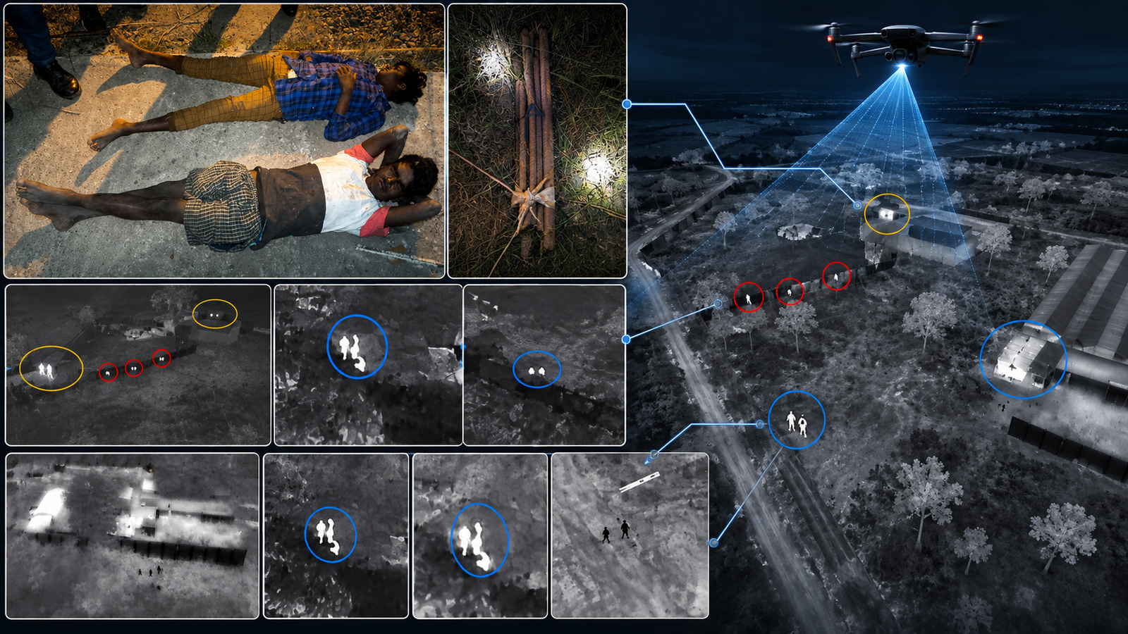
Security & Surveillance

Aerial perimeter monitoring for industrial sites, events, and critical infrastructure. Real-time live video feed to command centers with night vision and thermal capabilities.
Live FeedNight VisionPerimeter24/7 Ops
Traffic Monitoring
Security

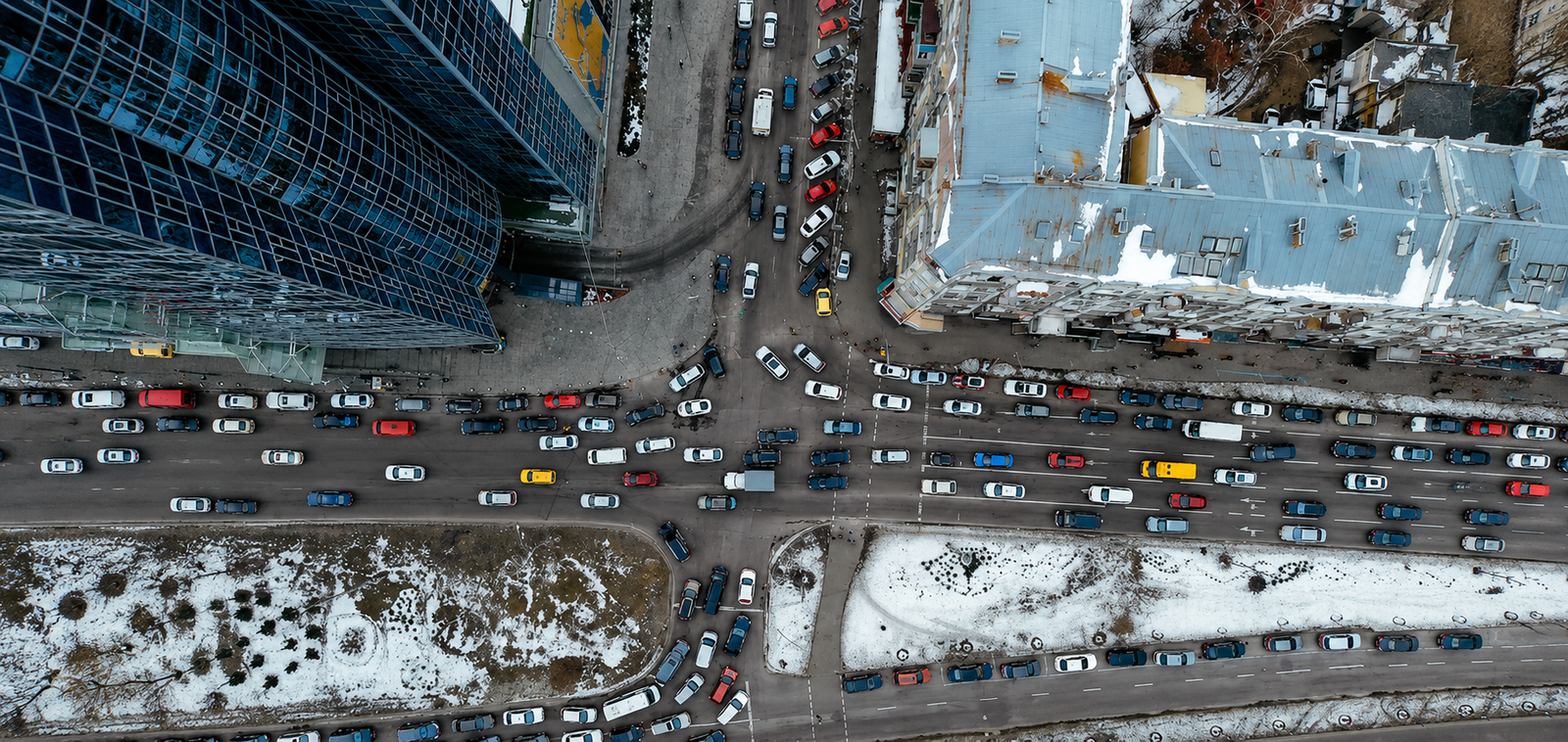
Traffic Monitoring & Smart City

Overhead traffic flow analysis, accident assessment, and congestion monitoring. Urban planning support, encroachment detection, and civic infrastructure inspection.
Flow AnalysisAccident AssessSmart CityReal-time
Disaster Management
Security

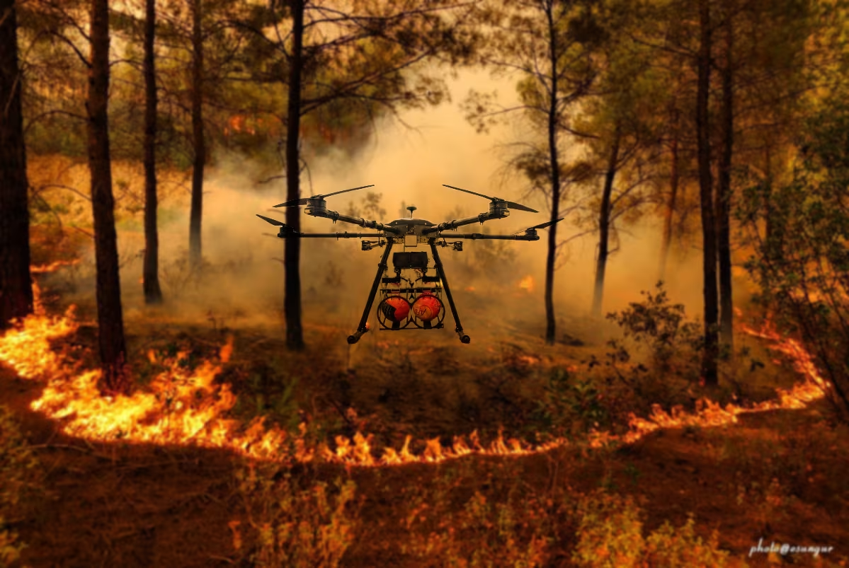
Disaster Management & Rescue

Rapid deployment for flood assessment, earthquake damage mapping, search-and-rescue. Thermal imaging helps locate survivors day or night.
Rapid DeployThermal SARDamage Map24/7 Ready
Event Coverage
Media

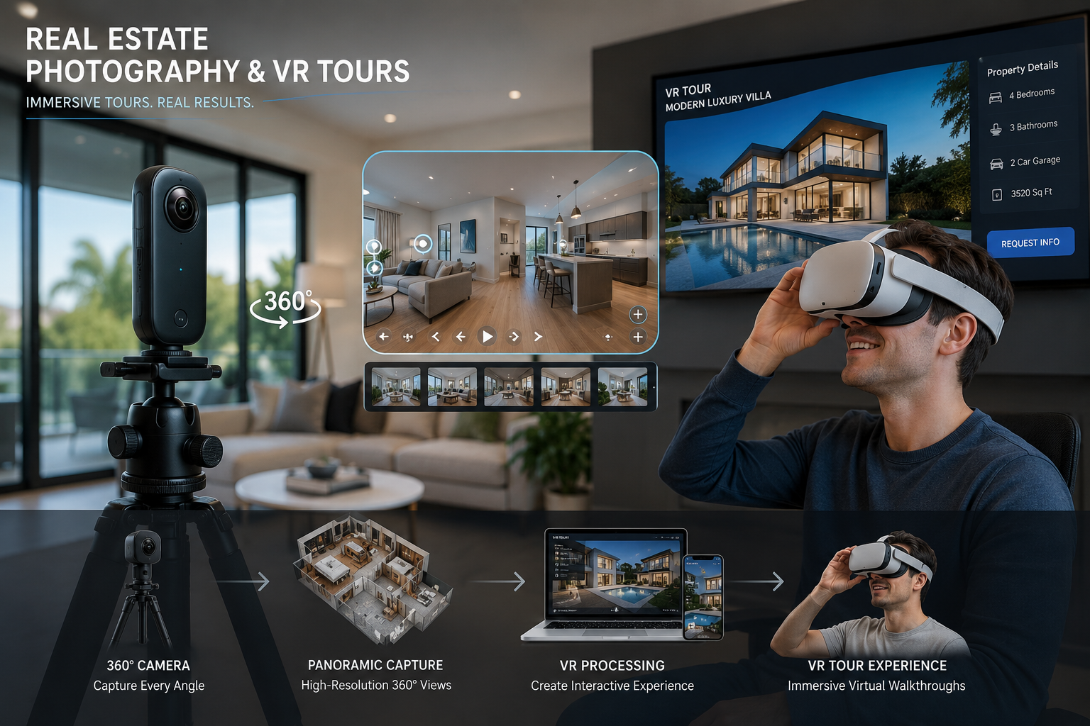
Real Estate Photography & Event Coverage

Stunning aerial photography and 4K/8K cinematic video for property listings, weddings, corporate events, sports, and film productions.

4K/8K Video360 VRHDR PhotoBroadcast
Category 05

Custom Drone Manufacturing

Don't just hire a drone service — own the perfect drone for your mission. We design and build custom UAVs to your exact specifications.

Built to Your Exact Specifications

From concept to flight-ready system, we handle the entire drone development lifecycle. Our engineering team works with you to understand payload needs, flight duration, operating environment, and budget.
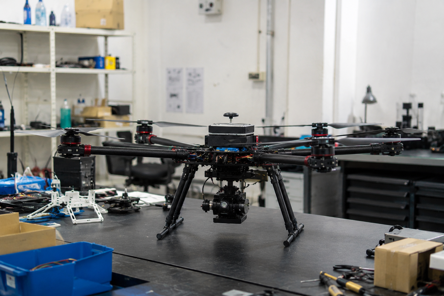
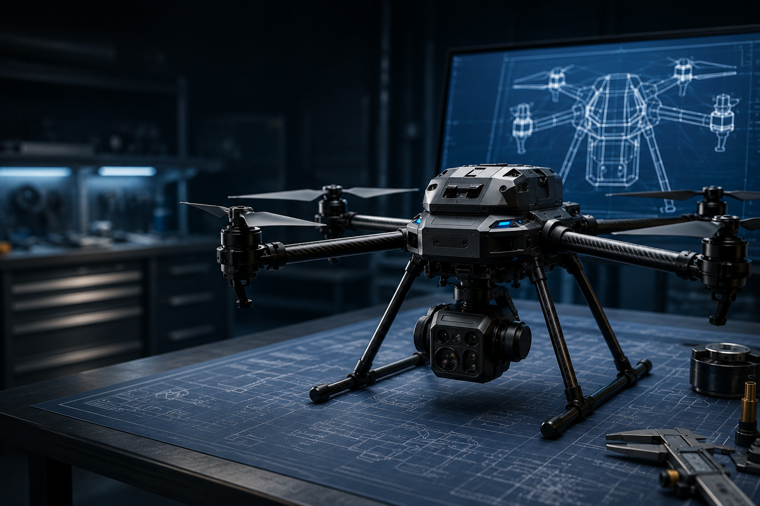
  • Frame Design — Quad, Hexa, Octo, Fixed-Wing
  • Payload — EO/IR, LiDAR, Multispectral, Spray
  • Endurance — 30 min to 8+ hours flight time
  • Range — 5km to 50km+ long-range comms
  • Ruggedization — IP-rated, extreme environments
  • Software — Mission planning, autonomous waypoints
  • Compliance — DGCA NPNT ready
Discuss Your Custom Build
Custom Drone Manufacturing India
Consultation

Consultation

We understand your mission requirements, payload needs, and operational environment.

Engineering

Design & Engineering

Our engineers design the airframe, select components, and plan integration.

Build and Test

Build & Test

Full assembly, rigorous flight testing, calibration, and DGCA compliance docs.

FAQ

Frequently Asked Questions

Find answers to common questions about our drone services, survey accuracy, pricing, and compliance.

What is drone survey and how does it work? +
Drone survey is the use of unmanned aerial vehicles (UAVs) equipped with cameras and sensors to capture aerial data. The drone flies a pre-planned route, capturing overlapping images processed using photogrammetry to create 2D maps (orthomosaics), 3D models, DEMs, and contour maps. At Akashveer Aerospace, we use RTK/PPK-enabled drones for survey-grade accuracy of 2-5 cm.
How accurate is drone survey compared to traditional methods? +
Drone surveys with RTK/PPK GPS achieve vertical accuracy of 2-5 cm and horizontal accuracy of 1-3 cm — comparable to or better than traditional ground surveys. Drone surveys are 80% faster and 60% more cost-effective than conventional methods.
What is the cost of drone survey in India? +
Drone survey cost in India ranges from Rs 15,000 to Rs 75,000 per sq km depending on terrain, accuracy requirements, and deliverables. Mining surveys, LiDAR surveys, and thermal inspections have different pricing. Contact sales@akashveer.in for a customized quote.
What is LiDAR drone survey? +
LiDAR (Light Detection and Ranging) drone survey uses laser sensors to measure distances and create highly accurate 3D point clouds. LiDAR can penetrate vegetation to map ground surfaces, making it ideal for forestry, mining, and topographic surveys in vegetated areas.
What is photogrammetry in drone mapping? +
Photogrammetry is the science of making measurements from photographs. In drone mapping, hundreds of overlapping aerial images are stitched together to create orthomosaic maps, 3D models, and elevation data. It is the most common and cost-effective method for drone surveying.
How long does a drone survey take? +
Most drone surveys are completed within 24-72 hours of site access. A typical 100-hectare survey takes 2-4 hours of flight time, with data processing taking an additional 24-48 hours. Large mining or infrastructure projects may take 3-5 days.
Is Akashveer Aerospace DGCA certified? +
Yes, Akashveer Aerospace is fully DGCA (Directorate General of Civil Aviation) compliant. All operations follow NPNT (No Permission No Takeoff) protocols. Our pilots are DGCA-certified, and all drones are registered on the Digital Sky platform.
What deliverables do you provide after a drone survey? +
We provide: Orthomosaic maps (GeoTIFF), Digital Elevation Models (DEM/DSM), 3D point clouds (LAS/LAZ), 3D textured mesh models, Contour maps (DXF/DWG), Volume calculation reports, Thermal inspection reports, and CAD-ready outputs compatible with GIS and BIM software.
What industries use drone services? +
Drone services benefit: Mining, Construction, Agriculture, Solar Energy, Oil & Gas, Power & Utilities, Infrastructure, Government, Real Estate, Telecom, Defence, and Ports. Each industry has specialized drone solutions for survey, inspection, and monitoring.
Do you provide drone services in my city? +
We operate in 50+ cities across India including Bangalore, Hyderabad, Chennai, Mumbai, Pune, Delhi, Noida, Gurgaon, Jaipur, Ahmedabad, Kolkata, Kochi, Coimbatore, Nagpur, and Bhubaneswar. Don't see your city? Contact us — we deploy nationwide.
What is NDVI and how is it used in agriculture? +
NDVI (Normalized Difference Vegetation Index) is a vegetation health indicator calculated from near-infrared and red light measurements. It helps identify stressed crops, pest infestations, and irrigation issues. Our drones capture NDVI data to create crop health maps that guide precision agriculture decisions.
Can you manufacture custom drones for our needs? +
Yes, we design and manufacture custom drones tailored to your mission. Options include frame type (quad/hexa/octo/fixed-wing), payload integration (cameras, LiDAR, spray systems), flight endurance (30 min to 8+ hours), and communication range (5km to 50km+). All builds are DGCA NPNT compliant.
What is RTK and why does it matter for drone survey? +
RTK (Real-Time Kinematic) is a GPS correction technique that provides centimeter-level positioning accuracy. Without RTK, drone surveys achieve 1-3 meter accuracy. With RTK, accuracy improves to 2-5 cm vertically — essential for survey-grade mapping, volume calculation, and construction monitoring.
How do I get a quote for drone services? +
Fill out our quote request form or email your requirements to sales@akashveer.in. Include details about your project location, area size, required deliverables, and timeline. Our team will respond within 24 hours with a tailored quote.
What are the legal requirements for drone operations in India? +
All commercial drone operations in India require DGCA compliance under the Drone Rules 2021. This includes drone registration on Digital Sky, NPNT compliance, UIN (Unique Identification Number), and operations by DGCA-certified remote pilots. Akashveer Aerospace handles all compliance requirements for your project.

Need a Drone Service or Custom Build? Let's Talk

Every project is unique. Tell us your requirements and we'll design a tailored solution.