What is drone survey and how does it work? +
Drone survey is the use of unmanned aerial vehicles (UAVs) equipped with cameras and sensors to capture aerial data. The drone flies a pre-planned route, capturing overlapping images processed using photogrammetry to create 2D maps (orthomosaics), 3D models, and elevation data. At Akashveer Aerospace, we use RTK/PPK-enabled drones for survey-grade accuracy of 2-5 cm.
How accurate is drone survey compared to traditional methods? +
Drone surveys using RTK (Real-Time Kinematic) or PPK (Post-Processed Kinematic) GPS can achieve vertical accuracy of 2-5 centimeters and horizontal accuracy of 1-3 centimeters. This is comparable to or better than traditional ground survey methods, while being 80% faster and 60% more cost-effective.
What is the cost of drone survey in India? +
Drone survey cost in India typically ranges from Rs 15,000 to Rs 75,000 per square kilometer, depending on terrain complexity, required accuracy, deliverables, and project size. Mining surveys, LiDAR surveys, and thermal inspections may have different pricing. Contact us at
sales@akashveer.in for a customized quote.
What is LiDAR drone survey? +
LiDAR (Light Detection and Ranging) drone survey uses laser sensors to measure distances and create highly accurate 3D point clouds. LiDAR can penetrate vegetation to map ground surfaces, making it ideal for forestry, mining, and topographic surveys in vegetated areas.
How long does a drone survey take? +
Most drone surveys are completed within 24-72 hours of site access. A typical 100-hectare survey takes 2-4 hours of flight time. Data processing takes an additional 24-48 hours. Large mining operations or extensive infrastructure projects may take 3-5 days.
Is Akashveer Aerospace DGCA certified? +
Yes, Akashveer Aerospace is fully DGCA (Directorate General of Civil Aviation) compliant. All our drone operations follow NPNT (No Permission No Takeoff) protocols. Our pilots are DGCA-certified remote pilots, and all our drones are registered on the Digital Sky platform.
What deliverables do you provide after a drone survey? +
We provide: Orthomosaic maps (GeoTIFF), Digital Elevation Models (DEM/DSM), 3D point clouds (LAS/LAZ), 3D textured mesh models, Contour maps (DXF/DWG), Volume calculation reports, Thermal inspection reports with anomaly tagging, Video documentation, and CAD-ready outputs compatible with GIS and BIM software.
What industries use drone services? +
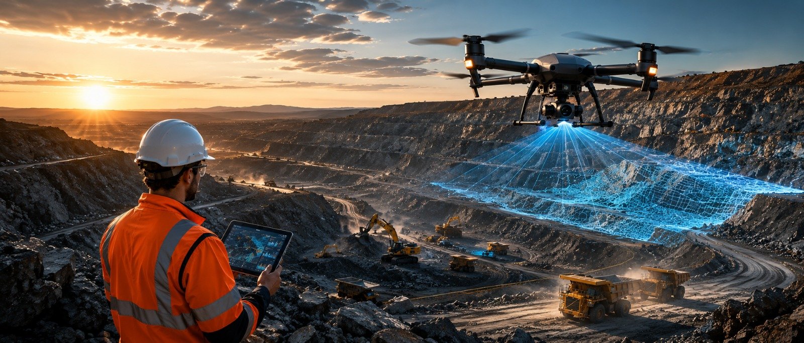
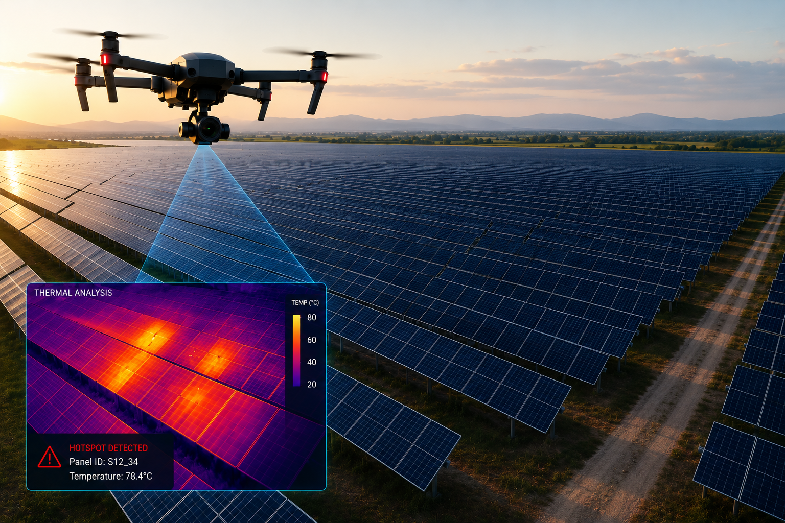
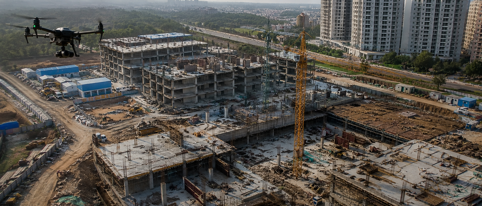
Drone services benefit numerous industries including: Mining (stockpile measurement, pit mapping), Construction (progress monitoring, BIM), Agriculture (crop health, NDVI, spraying), Solar Energy (thermal inspection), Oil & Gas (pipeline monitoring), Power & Utilities (transmission line inspection), Infrastructure (highway, railway, bridge survey), Government (smart city, disaster management), and Real Estate (aerial photography, 3D modelling).